GIS Skill Set
Fascinated by maps? Take your industry knowledge to the next level and learn how to make your own!
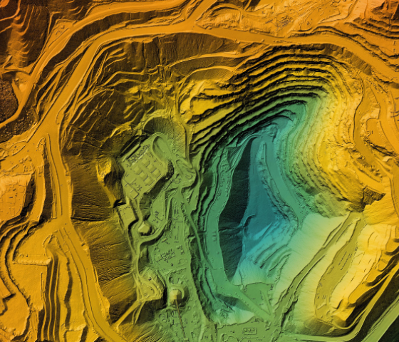
Geographic Information Systems (GIS) or Spatial Information Systems (SIS) has been a growth industry within conservation for approximately fifteen years. In simple terms it is computer mapping, but it involves creating, storing and managing geographic information to solve geographical problems. Whilst it used to be wholly a specialist subject, it is now considered that at least a low level of ability is required. This skill also applies to the mining, local government, health, transport, property development and marketing industries. This Skill Set is based on QGIS freeware.
Overview
Study Mode On Campus
This introductory Skill Set encompasses the ability to access, securely store, retrieve and display data in a map. Intellectual property, database management, attribute tables and mapping equipment are also covered. Information on data types, scale and resolution are addressed. Finally map layout and production with all the essential elements of a printable map is performed.
This Skill Set is suitable for people who can use a computer, navigate file structures, rename files and folders and read paper maps including coordinates. Prior computer mapping experience is not necessary.
Unit:
AHCLPW410 Produce maps for land management purposes
CPPSSI2013 Store and retrieve basic spatial data
Important information
Select your preferred campus and apply
Delivery location, important dates and study options
Course dates, locations and study modes are not currently available. Please contact our Client Services Team for more information.